Where we can fly: Understanding the South Coast NSW Airspace 2026
How we deliver safe, compliant and reliable drone operations across the Illawarra, Shoalhaven and Southern Highlands
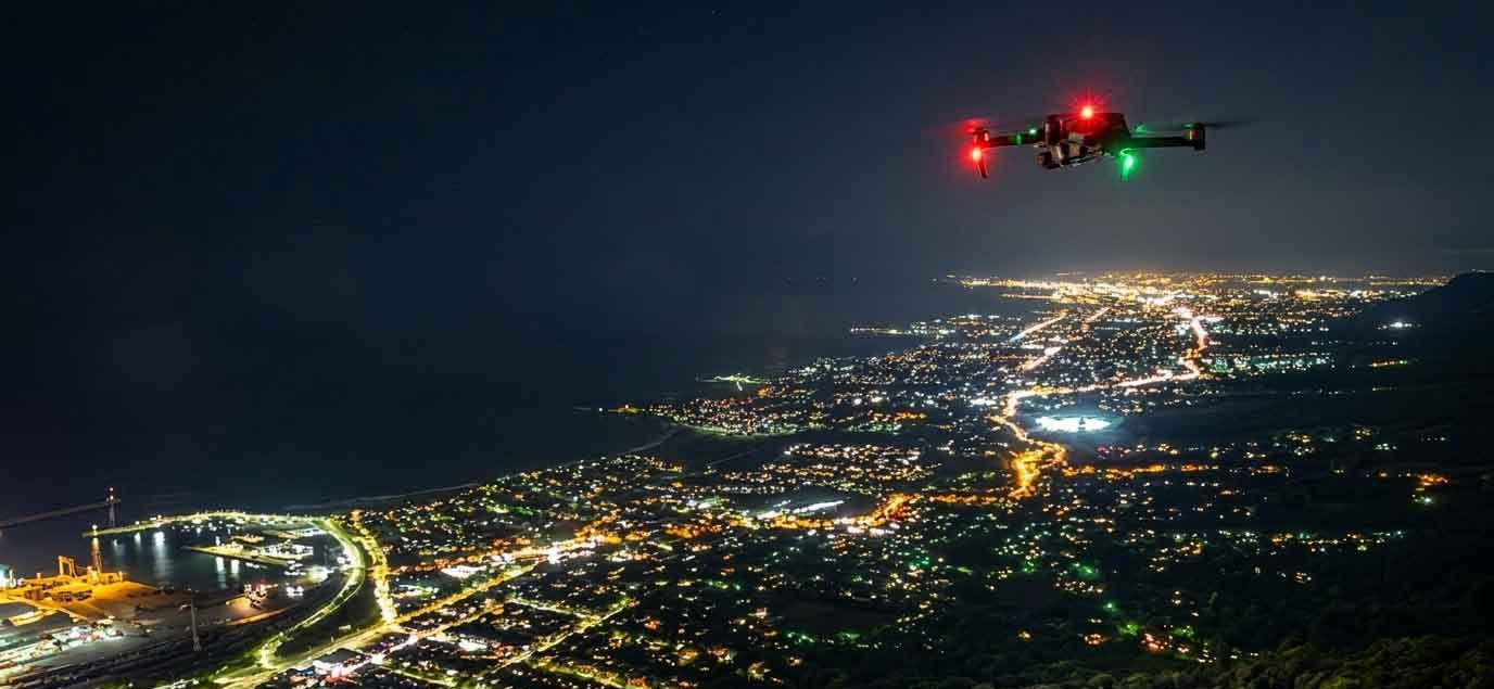
Flying a drone in the Illawarra, Shoalhaven, and Southern Highlands requires more than just checking the weather. With recent airspace updates driven by the new Western Sydney International Airport and changes around Camden, drone operators must stay informed to remain compliant and safe.
The easiest way to check current airspace restrictions is through official tools such as CASA’s Know Your Drone, Ok2Fly, and AALTI. These platforms provide real-time guidance on where you can and cannot fly.
ILLAWARRA
Wollongong (Heliports and Danger Zones)
Wollongong has multiple helicopter operations, particularly around hospitals, coastal rescue services, and industrial areas. There are also designated danger zones linked to port operations and training activities. These areas may not always be obvious on the ground, so checking an app before flight is essential.
Shellharbour Airport (WOL – Uncontrolled)
Shellharbour (Wollongong) Airport is a certified but non-towered (Class G) airport. While it is uncontrolled, drone operations are still restricted within 5.5 km unless approval is obtained. Increased traffic and training operations make situational awareness critical.
National Parks and Wildlife Service
Large parts of the Illawarra escarpment and surrounding areas fall under National Parks. Drone use is generally prohibited without specific permission from NPWS, regardless of airspace classification.
SHOALHAVEN
Nowra Airport (Controlled)
Nowra (HMAS Albatross – YSNW) operates as a controlled military aerodrome. This airspace is highly restricted, and drone flights are not permitted without formal clearance. Expect strict enforcement due to active aviation operations.
Military Zone (Restricted Area – HMAS Albatross)
The broader military airspace surrounding HMAS Albatross includes restricted zones that extend beyond the immediate airport. These zones are clearly marked in flight apps and must be avoided unless authorised.
Jaspers Brush Airfield (Private)
This is a private airstrip used for general aviation. While not controlled, drone operators must still maintain safe separation from aircraft and avoid operations when traffic is active.
Shoalhaven Hospital Helipad (YXNW)
Medical helicopter operations occur frequently and often without notice. These are high-priority flights, and drone operators must give way at all times and avoid flying nearby.
Jervis Bay Airfield (Private)
Jervis Bay includes both civilian and defence-related aviation activity. Some areas may overlap with restricted military airspace, making pre-flight checks essential.
National Parks and Wildlife Service
Shoalhaven contains extensive protected areas, including coastal reserves and national parks. Drone use is typically restricted without approval.
SOUTHERN HIGHLANDS
Mittagong Airfield
A small but active airfield used by general aviation. While uncontrolled, standard proximity restrictions apply, and pilots should monitor for low-flying aircraft.
Robertson Airstrip
A lesser-known private strip that may not always appear obvious. Treat all rural strips with caution and assume potential aircraft activity.
Bowral Private Airfield
Another private aviation facility in the region. As with all private strips, operations can occur without notice, requiring drone pilots to remain vigilant.
National Parks and Wildlife Service
Much of the Southern Highlands borders protected land. As with other regions, NPWS restrictions apply and must be respected.
Staying Compliant
Airspace across these regions is becoming more complex due to expanding aviation infrastructure and increased drone usage. The introduction of Western Sydney International Airport has influenced controlled and restricted airspace boundaries, making it more important than ever to check before every flight.
Always use trusted tools like CASA’s Know Your Drone, Ok2Fly, or AALTI to confirm current conditions. Airspace can change, and assumptions can lead to serious penalties.
Let us help you with your project
We take the headache out of understanding the airspace regulations and handle everything from start to finish, talk to us about your project or check how ready your project is.
Author
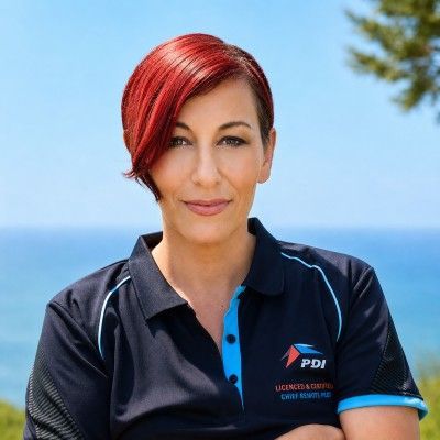
Heather James | Chief Remote Pilot
I’m Heather James, CEO of Professional Drone Imagery Pty Ltd (PDI), Chief Remote Pilot, RePL Instructor and photographer. I help businesses with aerial imagery, thermal inspections and photography, alongside accurate site data, to improve oversight, safety and marketing outcomes on every project.
Not sure if your drone project is ready for an estimate? Take our Drone Project Readiness Check to find out in less than 2 minutes.