drone inspection services
Insurance Drone Inspections
About Insurance Drone Inspection Services
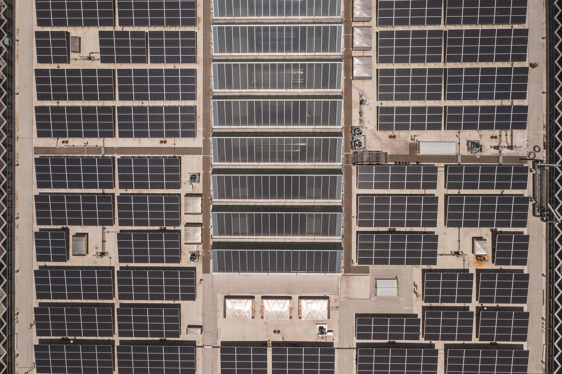
Professional Drone Imagery provides aerial image and data collection services to support insurance assessments, damage documentation and condition records for commercial properties and sites. These inspections help capture clear visual information across roofs, buildings, solar systems and other hard-to-access areas without unnecessary disruption during the initial review stage.
Insurance drone inspection services ideal for:
Insurers, assessors, facilities teams, property managers and contractors needing clear image and data capture for damage documentation, condition records and claim support.
How drone inspections support insurance assessments
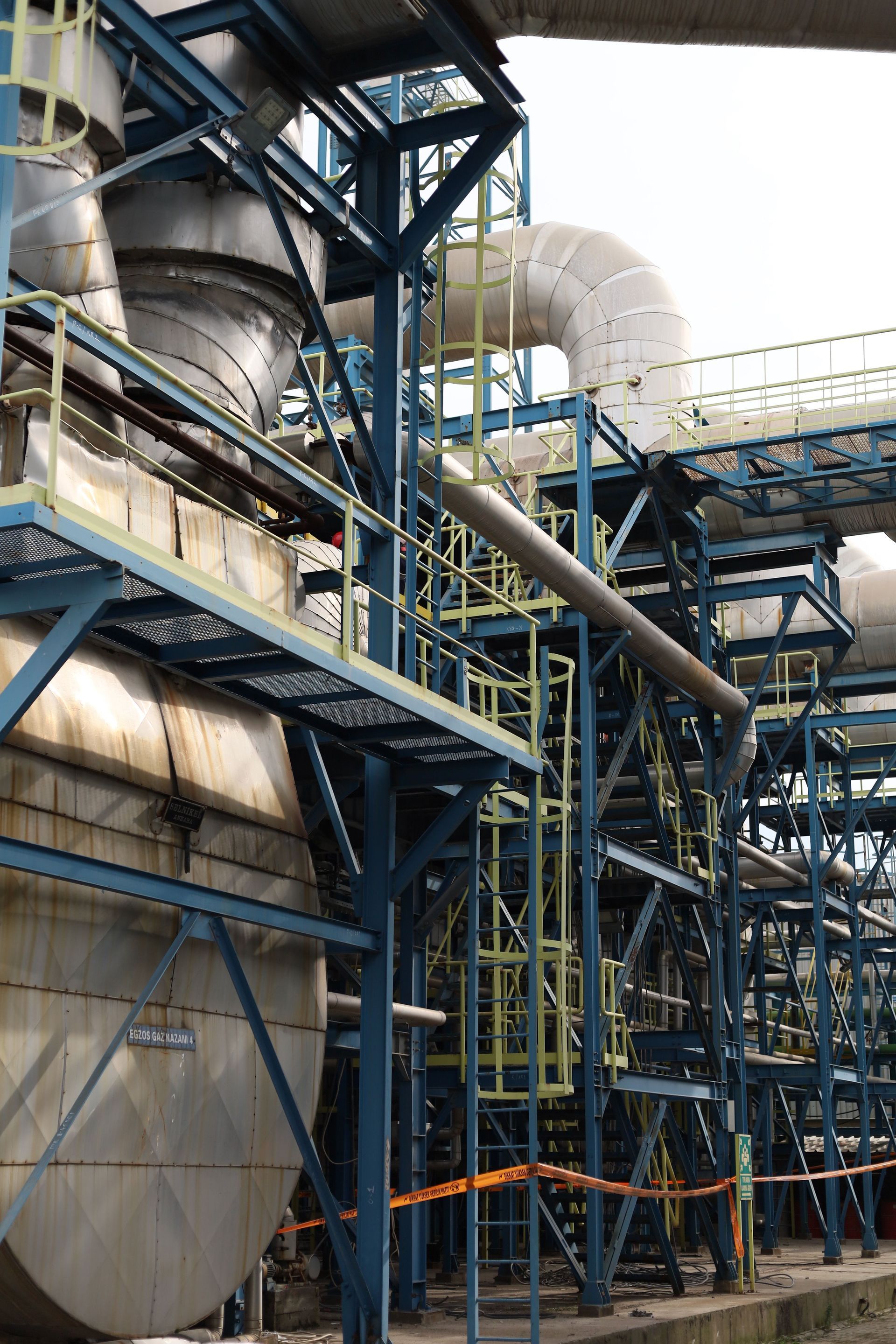
Drone inspections provide a safer and more efficient way to collect visual records for insurance-related review, especially where height, access or site conditions make traditional inspection methods slower or more disruptive.
High-resolution imagery and site overview captures can help support damage assessment, claim documentation, contractor review and follow-up planning.
What insurance inspection services can include
Construction drone services can support progress tracking, site mapping, pre-start documentation, stockpile review, marketing updates, stakeholder reporting, storm event records, safety observation and general site photography and videography.
These outputs help create a visual timeline of the project that can be reused for reporting, data collection, communication and future reference.
Where suitable, inspections can include thermal imaging capture to highlight temperature differences and potential areas of concern, with data provided for review by your insurance, engineering or maintenance specialists.
Need clear inspection records for an insurance matter?