


Night Flying
Considering Night Flight Drone Services? Key Insights for Businesses
Considering a night aerial drone project but unsure where to start? Let’s demystify the process…While recreational flying

Industry Insights
Drone Industry Soars: Australia’s Aerial Growth Takes Flight
The Drone industry in Australia is experiencing unprecedented growth, presenting exciting opportunities for remote Drone (UAV/RPA) operators

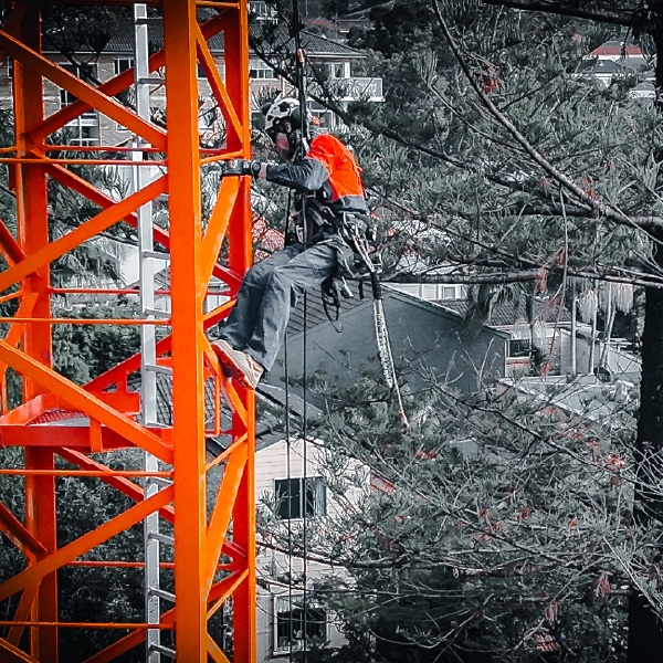
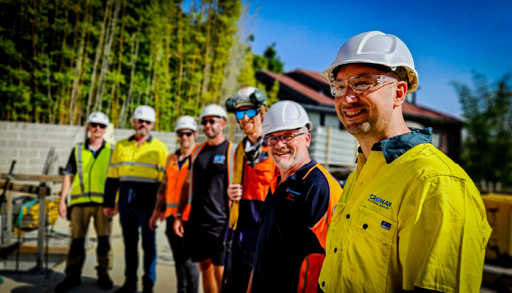
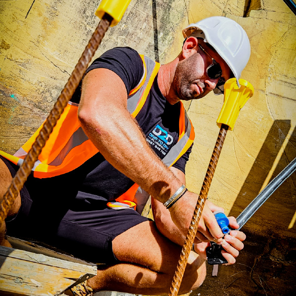
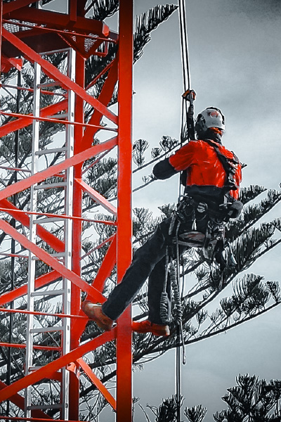
Construction
Benefits of Thermal Imaging in Industrial Inspections
Learn about the advantages of thermal imaging in industrial inspections. This advanced technology identifies hidden issues before